Great Wall of Morocco
Great Wall of Morocco
Stretching over 2,700 km, the sand wall crosses Western Sahara. Historical background, security and access from Laâyoune and Dakhla.
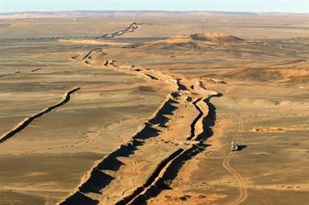
The Sand Wall, also known as the Moroccan berm, is a military structure that crosses Western Sahara for over 2,700 km. Built by Morocco from 1980 onwards, it separates the territory administered by the kingdom from the zone controlled by the Polisario Front. Far from being a conventional attraction, it is a militarized installation bordered by mines and guard posts, with strictly regulated access. Its appeal for travellers lies in understanding a persistent regional conflict and traversing the Saharan landscapes surrounding it, from Laâyoune or Dakhla.
Why visit
The wall ranks among the world's longest continuous fortifications in modern times. For those travelling in southern Morocco, it offers a lens through which to understand Western Sahara, its contested status, and its economy tied to phosphates and fishing. The berm itself is not a visitable site in the traditional tourism sense: its course remains in a military zone. Nevertheless, understanding its existence illuminates visits to nearby cities, their Sahrawi populations, and life on the margins of the desert.
History and geopolitical context
Western Sahara, a former Spanish colony until 1975, is the subject of a dispute between Morocco, which administers most of it, and the Polisario Front, backed by Algeria, which claims the territory's independence on behalf of the Sahrawi Arab Democratic Republic. The status of the territory remains classified as non-self-governing by the United Nations.
Construction of the wall began in 1980, with the support of international military advisers, and continued through six successive phases until the late 1980s. The structure protects strategic zones, including the Bou Craa phosphate mines, and limits Polisario incursions. It combines sand and stone embankments, ditches, barbed wire, observation posts and anti-personnel mine fields, only partially cleared. Since 2008, Sahrawi activists and international organizations have regularly staged demonstrations against the wall's presence, calling it the "wall of shame." A ceasefire observed between 1991 and 2020 has since been broken, reigniting tensions along the line.
What to see and do
Direct access to the berm is forbidden to civilians. No official visits are organized along the route. Travellers interested in the historical and geopolitical dimension can, however, explore the cities of Western Sahara:
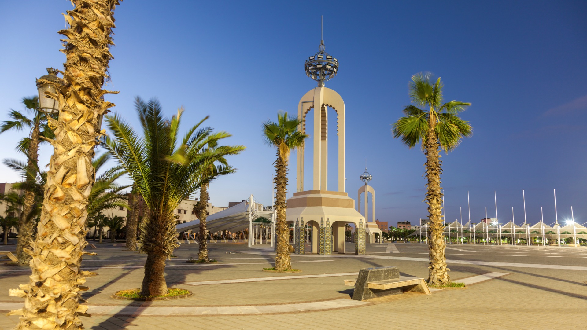
- Laâyoune, the region's main administrative city, showcases post-colonial urban planning, the Mechouar Square and Sahrawi souks.
- Dakhla, further south, is a peninsula focused on fishing, kitesurfing and marine wildlife observation.
- The Khaoui Naam waterfalls, a canyon with iron-rich saltwater, located near Laâyoune.
- Herné Island, also known as Dragon Island, accessible at low tide from Dakhla Bay.
- The Laâyoune Street Arts Festival, held in November, blends theatre, music and Hassani expressions.
Practical information and safety
Approaching the berm requires several precautions:
- Anti-personnel mines: large areas on both sides of the wall remain mined. Never leave marked trails and paved roads.
- Military presence: the surroundings are controlled by the Royal Armed Forces. Photographing military installations is forbidden.
- Authorizations: certain areas require prior permission. Check with local authorities or an English-speaking agency based in Laâyoune or Dakhla.
- Sensitive subject: the territory's status is politically contested. Avoid public discussions and taking positions on the ground.
When to go
The climate is hyper-arid. Summer temperatures can exceed 45 to 50°C during the day, making any movement through the desert arduous. The most favourable period runs from October to May, with daytime temperatures between 20 and 30°C. Winter nights can drop near 0°C in the interior: pack warm clothing. Between November and March, occasional showers may occur.
How to get there
- By air: Royal Air Maroc and a few carriers connect Casablanca to Laâyoune in around 1.5 hours, and to Dakhla in just over two hours.
- By bus: CTM and Supratours services run to Laâyoune and Dakhla from Marrakech, Agadir and Casablanca. Allow approximately 15 hours from Marrakech to Laâyoune.
- By car: the drive from Agadir to Laâyoune takes around 9 hours, and the Laâyoune-Dakhla journey a further day (approximately 8 hours). Fill up regularly; petrol stations are spaced far apart.
To see in the region
- Laâyoune, the logical starting point for understanding Western Sahara.
- Fort Bou Jerif, a former French garrison in southern Morocco.
- The Attiq waterfalls, a verdant stop on the route south.
Frequently asked questions
Frequently asked questions
Planning your trip to Morocco
To integrate Western Sahara into a wider itinerary combining imperial cities, the Atlantic coast and the great south, consult our Morocco trips and build a route tailored to your time constraints and level of adventure.
Interested in this visit?
We can include it in your personalised itinerary.