Jebel Aoulime
Jebel Aoulime
A peak in the western High Atlas north of Taroudant, Jebel Aoulime offers hiking and trekking in an off-the-beaten-path region of southern Morocco.
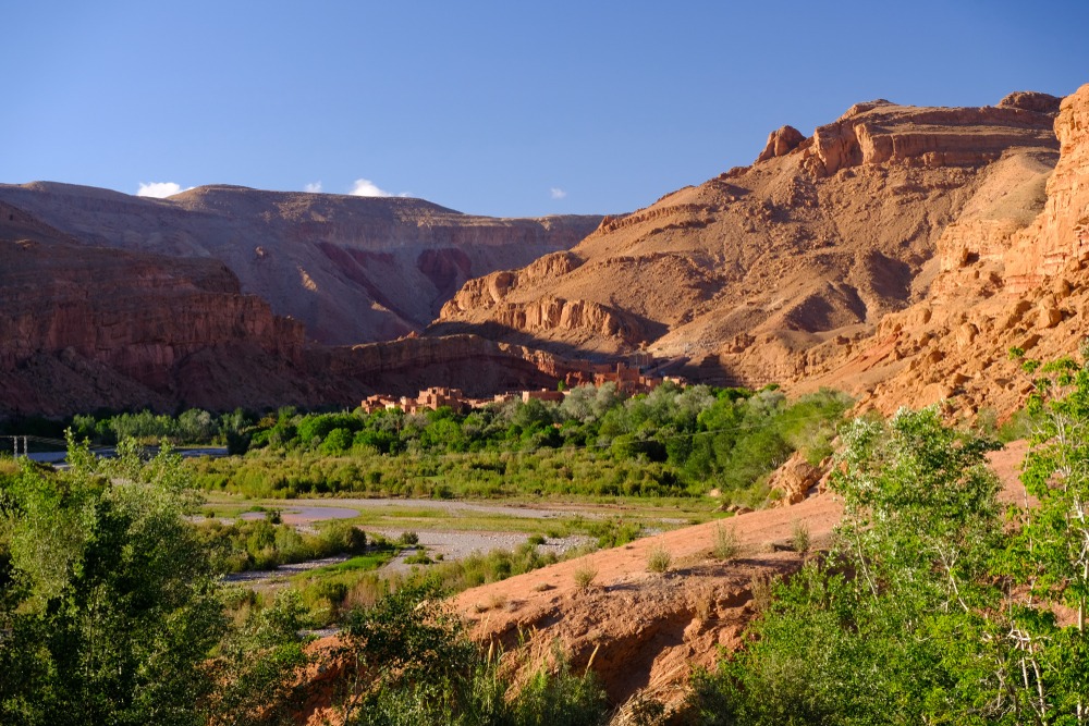
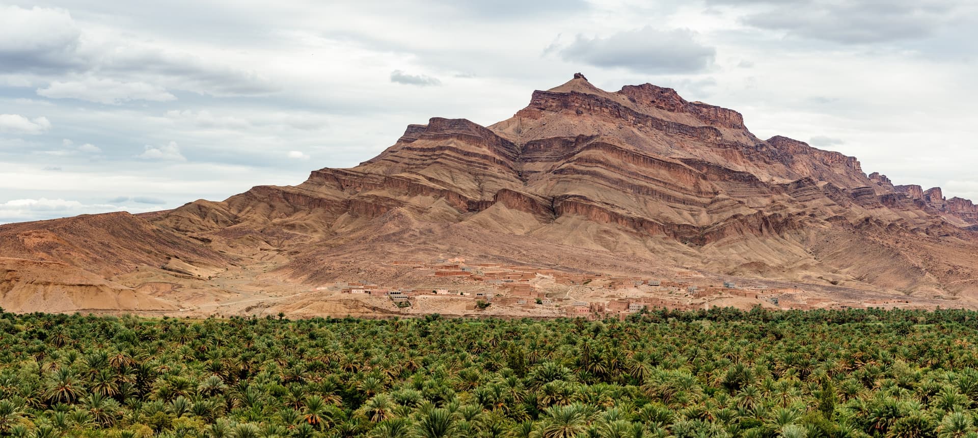
Jebel Aoulime is a peak in the western High Atlas of Morocco, located in the Souss-Massa region, north of Taroudant. Its elevation—often assessed at around 3,500 m—makes it one of the notable high points of the massif, accessible from Berber villages on its slopes. It attracts primarily hikers seeking a mountain route far from the marked trails of Toubkal.
Why visit Jebel Aoulime
Jebel Aoulime offers a mid and high mountain experience in a still little-frequented sector. Unlike the Toubkal massif, you rarely encounter other walkers, and the access villages—Afensou, Imoulass, Ncar Afensou—have preserved a traditional Berber agro-pastoral way of life.
The sector combines several assets:
- Valleys planted with walnut and almond trees, particularly striking in spring
- Perched villages accessible by tracks
- A local cooperative in Afensou, a useful stop to meet inhabitants
- Proximity to Souss-Massa National Park to extend your stay toward the coast
- The presence of rock art in the region, testimony to ancient human occupation
What to see and do at Jebel Aoulime
Hiking as the central activity
Jebel Aoulime lends itself essentially to hiking and multi-day trekking. Routes generally depart from the villages of Afensou or Imoulass and ascend the valleys before tackling the peak's slopes. Depending on your pace and acclimatization, allow two to four days for a loop including the ascent. The commitment is real: this is mountain terrain, best approached with a local guide.
The foothill villages
Kuilalt, Ourti Oumghar, Afensou, Imoulass and Ncar Afensou border the massif. These Berber villages live off terraced agriculture (walnuts, almonds, cereals) and livestock. The Afensou cooperative, located on the road to the dam, serves as a practical contact point for exchanging with inhabitants or arranging home stays.
Bivouacking and horseback riding
High-altitude bivouacking is an appreciated option to enjoy the night sky, very clear in this region far from urban centers. Some local agencies also offer horseback or mule riding in the lower valleys, more accessible to occasional walkers.
Practical information
- Region: Souss-Massa, western High Atlas
- Elevation: approximately 3,500 m (peak)
- GPS coordinates of an access point: 30.608238, -8.839681
- Guidance: mountain guide recommended for ascent
- Level: sustained hiking to challenging trek depending on the itinerary
- Equipment: mountain hiking boots, warm clothing (even in summer at altitude), plenty of water
When to visit Jebel Aoulime
The region experiences an average annual temperature of around 20 °C, with highs around 31 °C in July and lows close to 10 °C in December. Annual precipitation totals approximately 357 mm, concentrated in autumn and winter: November is the wettest month (around 115 mm), June the driest (1 mm).
The best windows for hiking:
- April to June: mild temperatures, valleys in bloom, possible residual snow at altitude
- September to October: stable conditions, good visibility, still pleasant temperatures
Summer remains feasible but heat in the lower valleys can be trying. In winter, snow and cold at altitude make the ascent more technical.
How to access Jebel Aoulime
The logical starting point is Taroudant, approximately 40 km south of Ncar Afensou. From Taroudant, take the P1727 road heading north to Tamaloukt.
From GPS coordinates 30.608238, -8.839681, two options are available to you:
- Straight on the P1727: approximately 54 km, most direct route
- Via the dam: approximately 35 km, turning right, passing by the dam and crossing the wadi. This route allows a detour via the Afensou cooperative.
A high-clearance vehicle is advised on the final tracks. The villages of Ncar Afensou, Afensou and Imoulass serve as accommodation bases and starting points for walks.
What to see in the region
Jebel Aoulime naturally fits into a broader itinerary in southern Morocco:
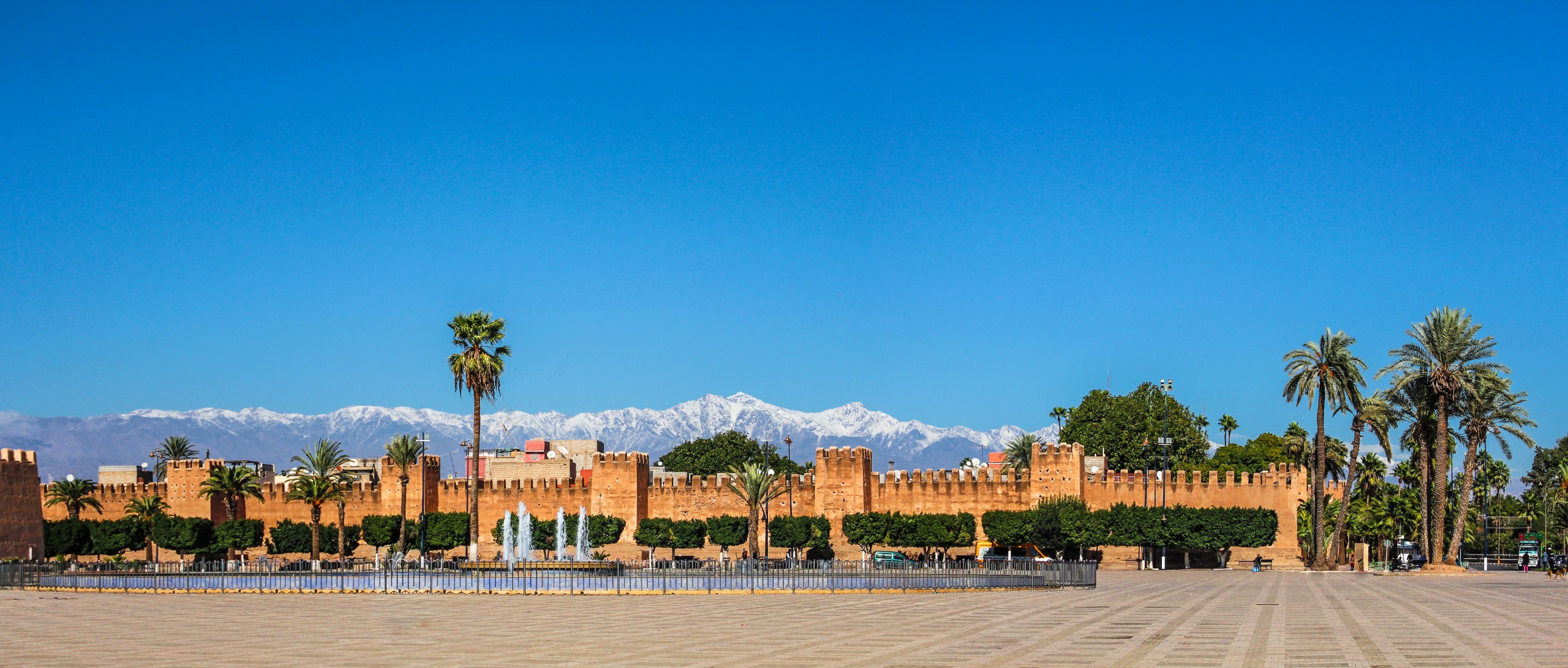
- Taroudant, a fortified city sometimes called the "little Marrakech," is the reference urban stop before or after the trek
- The Attiq waterfalls offer another facet of the High Atlas water landscapes
- Fort Bou Jerif, further south, extends exploration toward presaharan scenery
- Souss-Massa National Park, on the Atlantic coast, completes your stay with wildlife and coastal discoveries
Plan your trip
Jebel Aoulime combines well with a circuit in southern Morocco blending mountain, Berber villages and imperial cities. To build a tailor-made itinerary including the western High Atlas, explore our Morocco travel ideas.
Interested in this visit?
We can include it in your personalised itinerary.