Tazekka National Park
Tazekka National Park
About twenty kilometers from Taza, Tazekka National Park protects cedar forests, chasms and reintroduced wildlife on the heights of the Middle Atlas, up to 1980 m altitude.
About twenty kilometers south of Taza, in the northern Middle Atlas, Tazekka National Park protects a mosaic of forests, chasms and ridges peaking at 1980 m. Established in 1950 around a remarkable cedar forest, it is home to over 500 plant species and successfully reintroduced wildlife, including the Barbary deer.
Why visit Tazekka National Park
Tazekka concentrates, across a relatively compact mountainous territory, several ecosystems typical of the Middle Atlas: high-altitude cedar forests, oak woodlands, karstic springs and limestone reliefs carved by chasms. The botanical diversity here is exceptional, with more than 10% of Morocco's flora recorded within the park boundaries alone.
The site remains less visited than the major High Atlas parks, making it a worthwhile stop for travelers interested in hiking, birdwatching or botany, away from the beaten track.
History and creation of the park
Tazekka National Park was officially established in 1950 to preserve its Atlas cedar forest, considered one of the most remarkable in the region. At its creation, it covered nearly 700 hectares around the Jbel Tazekka summit. A significant expansion later increased its area to approximately 11,000 hectares, integrating valleys, karstic plateaus and lower forest zones.
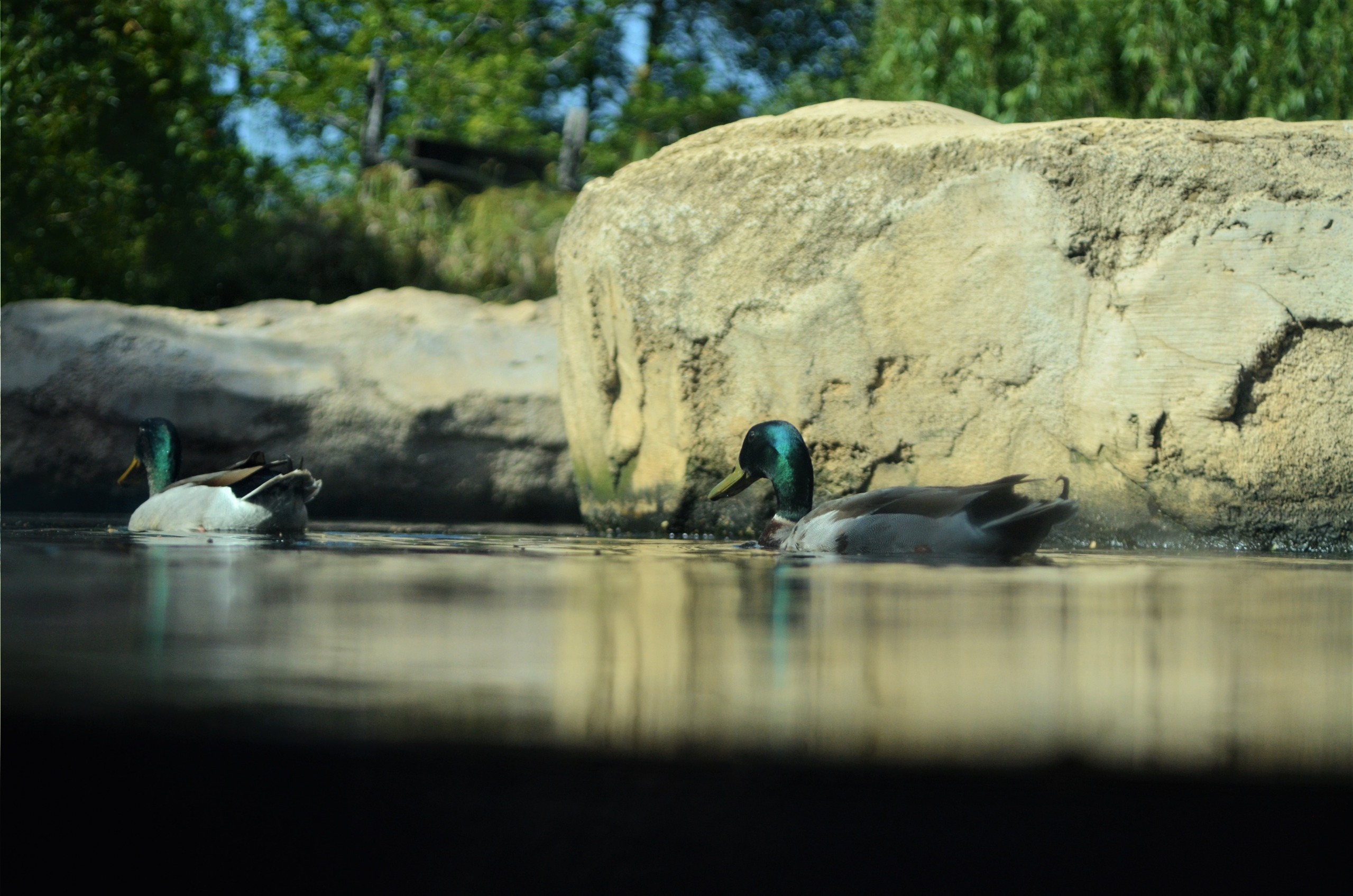
The landmark event in its recent history remains the reintroduction of the Barbary deer in 1994, after more than 200 years of species absence in this territory. A population now lives in an acclimatization enclosure accessible to visitors.
What to see and do
Mount Jbel Tazekka
The park's highest point at 1980 m, Jbel Tazekka dominates the entire massif. Its summit is often shrouded in clouds in winter and may be snow-covered between October and April. On clear days, the panorama extends to the Rif Mountains and the eastern Middle Atlas plateau.
Friouato Chasm
Among Morocco's deepest karstic cavities, Friouato Chasm opens via a vertiginous shaft accessed by a constructed staircase. Visits to the lower galleries are conducted with a local guide and appropriate equipment.
Ras-el-Ma Waterfall
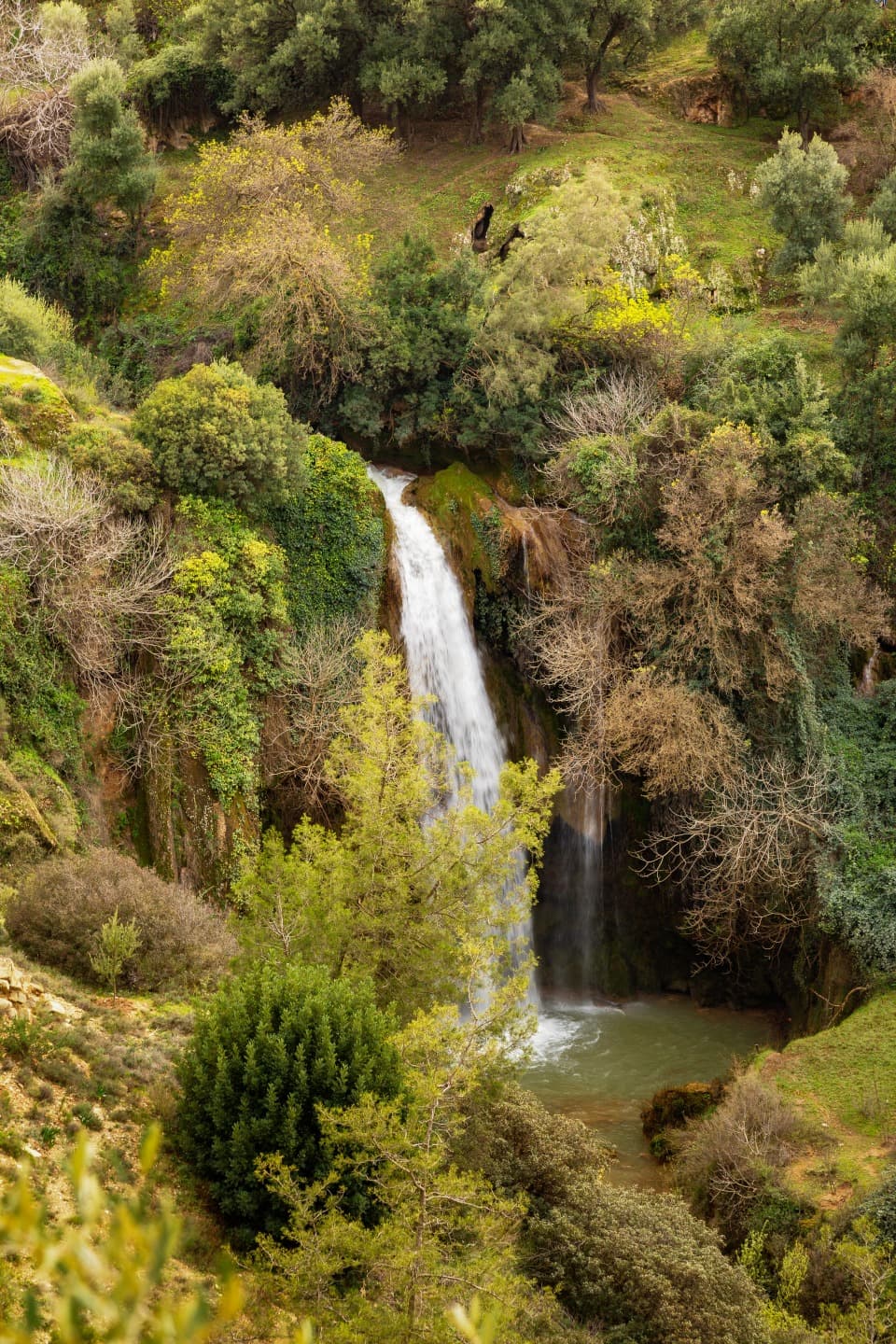
Located at the park's edge, Ras-el-Ma Waterfall feeds the Zireg wadi and provides a permanent water source appreciated for a shaded rest stop.
Forests and flora
The summit cedar forest is accompanied by evergreen oaks, zène oaks and cork oaks on the slopes. Around the site, you'll encounter thuyas, carob trees, wild olives and junipers. Over 500 plants are recorded in total, representing more than 10% of Morocco's flora. Late spring flowering remains the most photogenic time for botany enthusiasts.
Fauna
- Mammals: Barbary deer (reintroduced in 1994), wild boar, otter, crested porcupine
- Birds: bearded vulture, vultures, peregrine falcons, eagles
- Amphibians: salamander
When to go
Each season offers a different face of the park:
- Spring (April-June): the most recommended period, with spectacular flowering in late spring and pleasant temperatures for hiking.
- Summer (July-August): the altitude offers relief from lowland heat, but water resources are reduced.
- Autumn (September-October): forest colors, low visitor numbers.
- Winter (November-March): snow possible at higher elevations, trails sometimes impassable. It's useful to check the weather before heading to Jbel Tazekka.
Practical information
- Duration of visit: plan half a day for a short circuit (waterfall, deer enclosure), a full day to combine Friouato and Jbel Tazekka.
- Picnicking: prohibited outside designated areas, particularly at the park entrance and near the Barbary deer enclosure.
- Accommodation: a camping site is open at Bab Bou Idir, which also houses the park's interpretation center. The permanent exhibition "Tazekka National Park: a diverse natural wealth" is on view there.
- Activities: established hiking and equestrian trails, wildlife observation, supervised caving at Friouato.
- Equipment: hiking boots, warm clothing (altitude makes evenings cool even in summer), sufficient water.
How to get there
The park is accessible from Taza, about twenty kilometers away. Road P5429 serves the main entrance and principal points of interest (Bab Bou Idir, deer enclosure, access to Jbel Tazekka). Taza itself is connected to Fès and Oujda by national road and rail. A personal or rental vehicle remains the most practical way to explore the park, given the considerable internal distances.
Nearby attractions
The region allows you to extend your stay with other Moroccan natural sites:
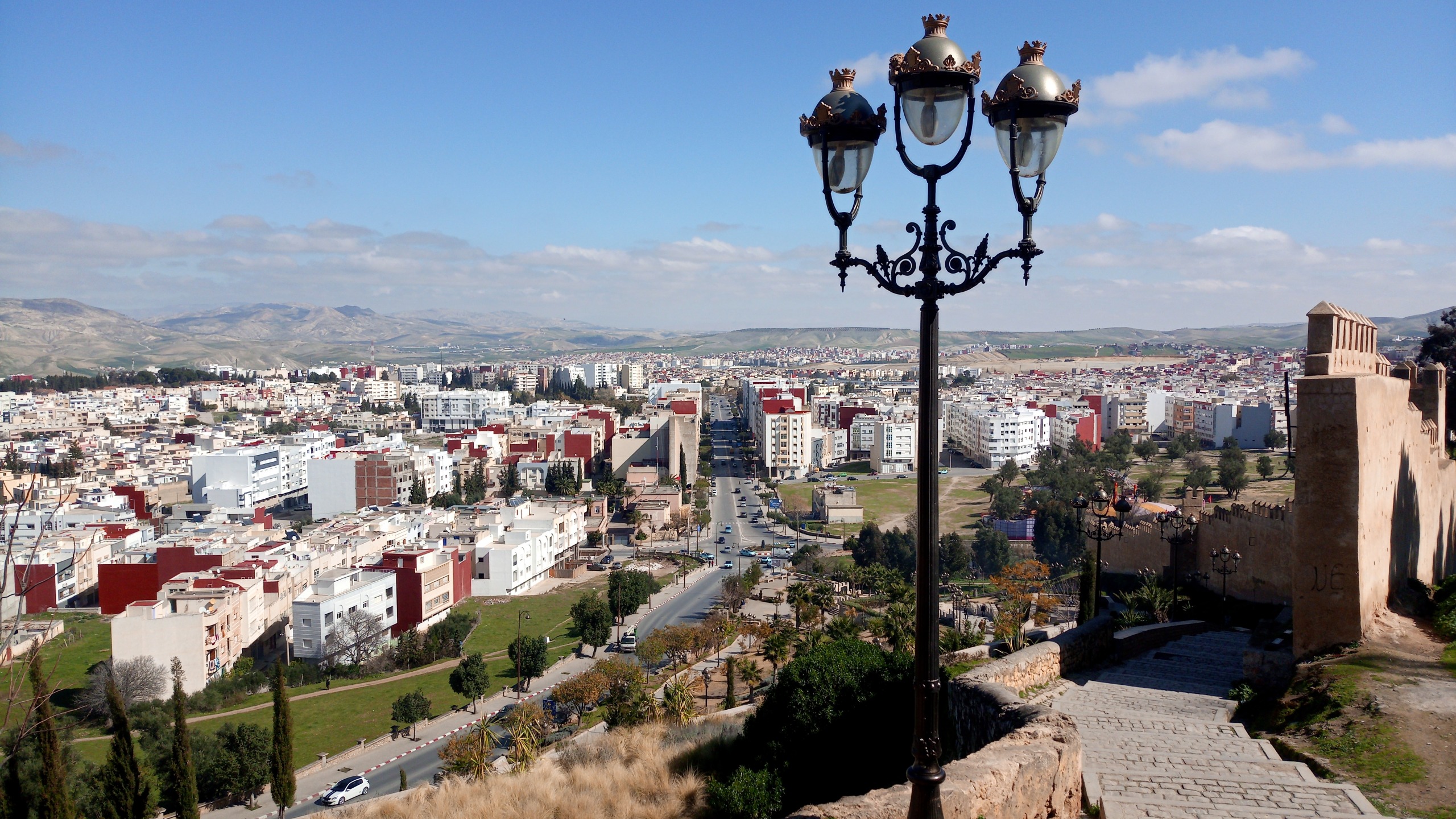
- The city of Taza itself, with its fortified medina perched on a rocky spur.
- The Attiq Waterfalls, another natural site to explore in the country.
- The Skoura Palm Grove for a contrast with the desert landscapes of the south.
Frequently asked questions
Frequently asked questions
Late spring (May-June) remains the ideal period, with extended flowering and pleasant temperatures. Autumn is also suitable for hiking. In winter, the Jbel Tazekka summit may be snow-covered between October and April.
Yes. The species was reintroduced in 1994 after more than 200 years of absence. A population lives in an acclimatization enclosure accessible to visitors, near a designated picnic area.
No. It is strictly prohibited outside designated areas, located at the park entrance and near the deer enclosure.
A camping site is open at Bab Bou Idir, which also features the park's interpretation center and its permanent exhibition. For more comfort, Taza (about twenty kilometers away) offers hotels and guesthouses.
For a simple descent of the shaft by staircase, no. However, exploration of the lower galleries must be done with a local guide equipped with appropriate lighting.
Prepare your trip
Tazekka National Park fits naturally into an itinerary combining the north and Morocco's Middle Atlas. To build your tailor-made journey and integrate this stop into a larger circuit, explore our Moroccan trips.
Interested in this visit?
We can include it in your personalised itinerary.