Tah Depression
Tah Depression
Near Tarfaya, Tah Depression marks Morocco's lowest point, at 55 m below sea level: a vast sebkha between the Atlantic and the Sahara.
Tah Depression marks Morocco's lowest point, at 55 meters below sea level. Located in the country's far south, just a few kilometers from Tarfaya, this vast sebkha stretches across roughly 30 km long and 10 km wide, covering some 250 km². The site combines geological, scenic, and geographical interest, lying halfway between the Atlantic Ocean and the desert.
Why visit Tah Depression
Tah Depression offers several distinctive features that make it a singular stop in southern Morocco:
- Morocco's lowest point, at 55 m below sea level.
- Ancient seabeds leaving shellfish deposits that today form chalk cliffs along the edges.
- Transitional landscape between the Atlantic coast (15 km away) and the first Saharan expanses.
- Isolated site, rarely frequented, ideal for camping and desert observation.
- Immediate proximity to Tarfaya, a fishing port facing the Canary Islands (160 km away).
What to see on site
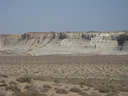
The sebkha reveals itself from its edges and from its center. The chalk cliffs formed by fossil shellfish border the depression and offer views across the flat basin floor, sometimes flooded after rare rains, usually covered in white salt crust. A promontory extends into the basin, allowing for varied observation angles.
At the center, dunes in formation appear in places, testament to the aeolian dynamics of the Atlantic Sahara. Vegetation remains sparse: saline soils severely limit flora, consistent with the definition of a sebkha.
Understanding a sebkha
In geomorphology, a sebkha refers to a flat-bottomed depression susceptible to flooding, whose saline soils limit vegetation. Its formation may be lacustrine in origin, through evaporation leaving salt deposits, or linked to direct (current or ancient) contact with the sea. This type of depression is found in most desert zones worldwide.
History and regional context
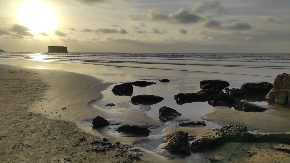
Tah Depression lies within a Saharan coastline long frequented by fishers and caravans. About twenty kilometers away, Tarfaya preserves traces of this history. The town houses the ruins of Casa del Mar, a trading post built in 1882 by British interests (often attributed to Scottish initiative by Donald Mackenzie). The building, perched on an islet facing the port, testifies to European settlement attempts on this coast during the 19th century.
Tarfaya is also known for its airmail history, where Antoine de Saint-Exupéry stayed in the 1920s.
Practical information
- Access to the depression floor: a track descends from the southern bank toward the basin center. Road conditions vary; a high-clearance vehicle, or even a 4x4, is recommended.
- Two-wheelers: caution with scorching sand and steep passages.
- Camping: the site is suitable for wild camping, respecting the environment and with complete water autonomy.
- Visit duration: allow 1 to 2 hours to explore the edges, longer if you venture into the depression's heart.
- Equipment: ample water, sun protection, GPS or offline maps, as network coverage is unreliable.
When to go
The climate is Saharan, marked by intense daytime heat. The most comfortable period runs October through April, when temperatures remain manageable and Atlantic winds cool the coast. Summer (June to September) remains feasible but challenging in midday heat. Rare rainy episodes can transform the sebkha floor into a temporary mirror of water—a spectacular but unpredictable phenomenon.
How to get there
The depression is reached by car from Tarfaya, just a few kilometers away. Tarfaya sits 890 km southwest of Rabat. The town is served by buses from Laâyoune and Agadir, with at least one departure daily. From Agadir, plan for a long day's drive. Renting a vehicle locally greatly facilitates access to the site.
Nearby attractions
- Tarfaya: fishing port facing the Canaries, sandy beaches, Casa del Mar ruins, and airmail heritage.
- The Saharan Atlantic coast, 15 km away, offers nearly deserted beaches.
- Fort Bou Jerif: former military post in southern Morocco, a transition point toward the Sahara.
Frequently asked questions
Frequently asked questions
To include Tah Depression in an itinerary through southern Morocco, check our suggestions for travel to Morocco.
Interested in this visit?
We can include it in your personalised itinerary.