Morocco's Geography
The High Atlas, stretching across ten kilometers with ten peaks reaching 4,000 meters in altitude, and approximately four hundred summits that culminate at 3,000 meters. The High Atlas forms a line between Morocc
Mountain Ranges
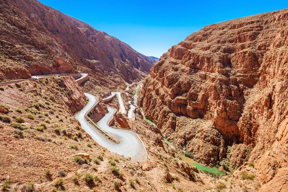
Marocco is a land of mountains. Four major mountain ranges can be distinguished, which are part of the same mountain chain: the Atlas and the Rif.
The High Atlas extends across ten kilometers with ten peaks reaching 4,000 meters in altitude, and approximately four hundred summits that culminate at 3,000 meters. The High Atlas forms a dividing line between Atlantic-facing Maroc, Mediterranean-facing Maroc, and Saharan Maroc. To the west stands Toubkal, the highest peak at 4,167 meters, an ancient massif. To the east lies Mgoun, peaking at 4,068 meters, a limestone massif, and further east, Ayyachi at 3,747 meters, a marly-limestone massif.
The Middle Atlas extends across two hundred kilometers. It comprises two massifs. To the east, the folded Middle Atlas of Taza features Bou Iblane, which rises to 3,172 meters, and to the west lies the Causse Moyen.
The Anti-Atlas is an immense ribbon stretching four hundred kilometers in length, with the Sarho continuing along its path. This is a Saharan mountain range. Imgout reaches a height of 2,530 meters, while Mansour rises to 2,172 meters.
The Rif is a mountain range running along northern Maroc for a length of two hundred kilometers. The highest peak is Tiddiriyn at 2,458 meters.
The Desert
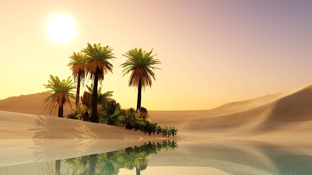
The Sahara Desert is the world's largest. It begins west and south of the Atlas mountain chain. From the Drâa Valley, one encounters a few villages before reaching the dunes of the Chebbi and Labidlia ergs. This is the domain of nomads. The Sahara is an expanse of sand and dunes, with occasional villages emerging from the sandy landscape like Tarbalt or Oumjrane, recognizable from afar by their palm trees. Some nomadic encampments are situated near wells.
Coasts and Borders
Morocco's coastline extends for 3,500 kilometers. To the north lies the Strait of Gibraltar, the Mediterranean Sea to the south, Algeria to the east, and the Atlantic Ocean to the west.
The borders extend across 2,017.90 kilometers, distributed as follows: 1,559 kilometers with Algeria, 443 kilometers with Western Sahara, 6.3 kilometers via Ceuta in Spain, and 9.6 kilometers via Melilla in Spain.
Waterways
Marocco is home to a large number of rivers and wadis: Bouregreg, Moulouya, Ouargha, Oum Errabiaa, Ourika, Sebou, Souss, Tensift, and Drâa.
Major Cities
Casablanca, Rabat, Fès, Marrakech, Tangier, Meknès, Agadir, Oujda, Kénitra, Tétouan, Safi, Laâyoune, Mohammedia, Beni Mellal, Khouribga, El Jadida, Taza, Nador, Settat, Berrechid, Larache, Khémisset, Ksar el-Kébir, Guelmim.